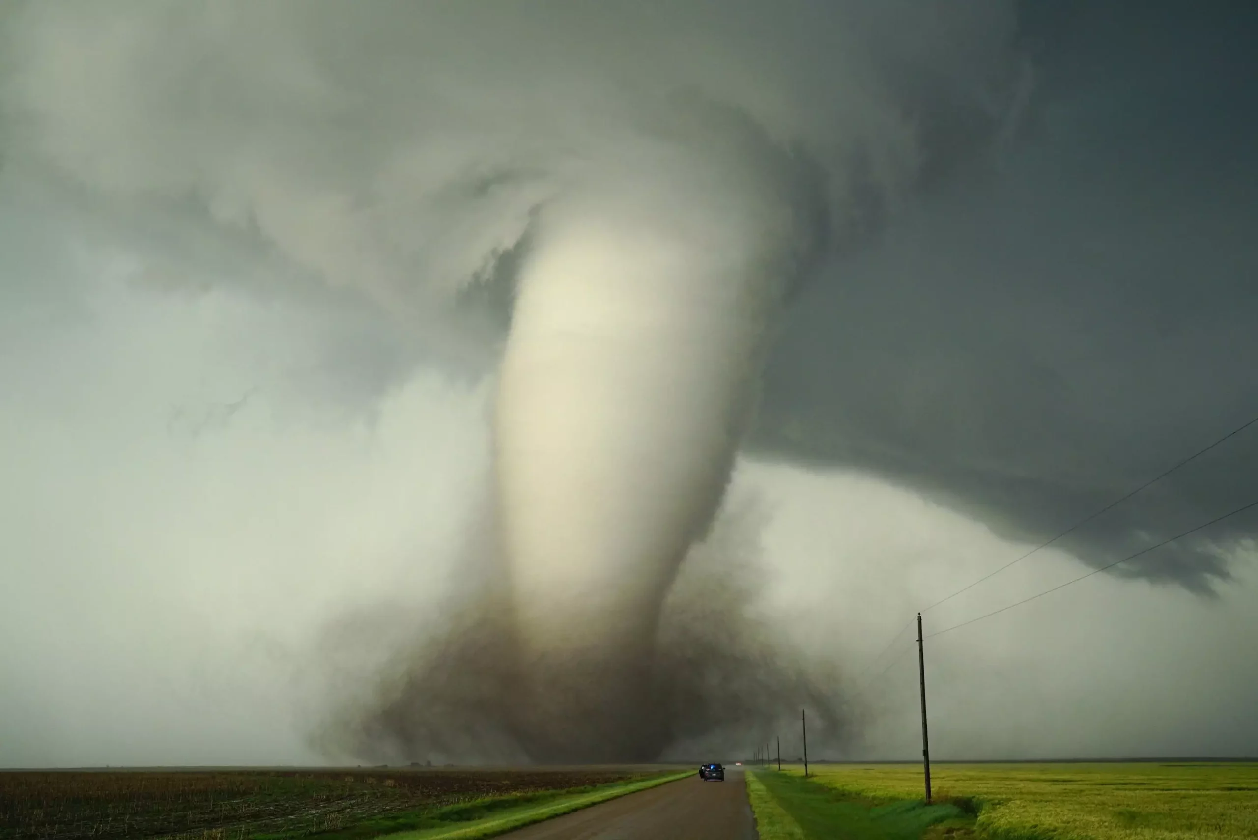
For decades, meteorologists and climate scientists have grappled with understanding what makes certain regions of the world prone to violent thunderstorms and tornadoes. Traditional beliefs held that the Gulf of Mexico’s warm, moist air was the primary fuel behind North America’s notorious tornado alley. However, this long-standing assumption—accepted almost as dogma—begged for rigorous testing and scientific validation. Enter Dr. Dan Chavas, whose innovative use of computer modeling is revolutionizing how we understand the complex interplay of geography, climate, and severe weather. His work suggests that our previous explanations may have oversimplified the driving forces, and it’s time to rethink what makes some regions more storm-prone than others.
The critical insight lies in recognizing that Earth’s surface features, from mountain ranges to ocean surfaces, significantly influence atmospheric conditions conducive to tornado development. Chavas emphasizes that the ingredients for severe storms are not just about warm, moist air but depend heavily on how landforms and land use alter wind patterns and atmospheric stability. This challenges us to view tornado formation not as a mere coincidence but as a complex outcome shaped by Earth’s physical features.
Redefining the Role of Land Topography and Surface Roughness
One of the most striking revelations from Chavas’s research is the impact of land surface roughness on tornado formation. By virtually “filling in” the Gulf of Mexico with land in his models, he demonstrated that the presence or absence of the Gulf’s warm waters does not solely dictate storm severity or frequency. Instead, the texture of the surface—whether ocean, forested land, or bare terrain—affects wind shear, a key ingredient for tornadoes.
Wind shear, the change in wind speed and direction with altitude, is crucial for tornado genesis. The presence of rough surfaces, such as dense forests or hilly terrain, disrupts wind flow and reduces shear, thereby limiting tornado formation. Conversely, smoother surfaces like large ocean expanses promote stronger wind shear, thereby increasing tornado potential. This nuanced understanding underscores that the geography of an area can either foster or hinder the atmospheric conditions necessary for severe storms.
Chavas’s research suggests that regions with heavily forested or rugged terrains may inherently carry a lower risk of tornadoes because their surface features dampen the wind shear that fuels tornado development. Therefore, the idea that the Gulf of Mexico alone powers North America’s tornado alley overlooks a critical factor—how land surface characteristics interact with atmospheric flow.
Global Variations and the Mysteries of Tornado Distribution
Chavas and his team extended their simulations beyond North America, examining why South America, despite its similar geography and climate, experiences far fewer tornadoes. The key difference appears to lie in the surface roughness east of the Andes mountains, where dense forests and complex terrain impede the formation of the wind patterns necessary for tornadoes. When models “smoothed” this terrain, tornado potential increased dramatically, confirming that surface texture plays a role in governing severe weather patterns.
This insight not only redefines what we know about geographic predispositions but also raises questions about how human activities—like deforestation, urbanization, and land management—could influence tornado risk in the future. If forest regrowth in the southeastern U.S. could alter surface roughness and modify atmospheric dynamics, could we potentially mitigate tornado threats or at least improve prediction accuracy? These are provocative questions, suggesting that severe weather, once thought to be purely a product of atmospheric conditions, might someday be influenced by our land use decisions.
The Implication of Climate Change on Tornado Dynamics
One of the most pressing concerns—climate change—adds another layer of complexity. As global temperatures rise, weather patterns shift, and jet streams meander differently, the distribution of moisture and wind patterns are altered. Chavas warns that these changes could fundamentally modify where and how tornadoes form. Regions previously considered safe might become more vulnerable, while traditional hotspots could see a decline.
This possibility spotlights the importance of moving beyond simple models that focus solely on temperature and humidity. Instead, understanding the intricacies of Earth’s surface features and their influence on atmospheric flow is vital for constructing accurate, predictive models. Improved land-based data, combined with advanced climate simulations, could offer a new window into how our changing landscape may inadvertently increase or decrease severe weather risks.
From Scientific Curiosity to Practical Application
It’s tempting to consider these scientific findings as purely academic, but their implications extend into disaster preparedness, urban planning, and climate policy. If we understand that land cover and topography significantly influence storm behavior, then managing forests, wetland restoration, or even urban design could become strategic tools in tornado risk mitigation.
Chavas’s personal motivation stems from witnessing the devastation storms can cause—a childhood memory of a fallen tree on his Wisconsin home left an indelible mark. That emotional connection fuels the pursuit of knowledge that can save lives. As the science progresses, so does the potential to develop better forecasting tools, early warning systems, and land management strategies that leverage our understanding of the land-atmosphere nexus.
It’s no longer enough to say “tornadoes happen.” Now, the scientific community must delve deeper, appreciating the subtle and intricate ways our planet’s physical features shape weather extremes. As our climate continues to evolve, so must our understanding of these powerful natural phenomena, harnessing science to build a safer, more resilient future.