Recent advances in remote sensing technology have enabled researchers to glean significant insights into fossil fuel emissions, particularly ethane, from space. Ethane is a gaseous compound prominently found in natural gas, serving vital roles in both energy production and plastic manufacturing. With growing environmental concerns surrounding fossil fuel extraction, innovative methods of tracking emissions are crucial for developing strategies aimed at reducing air quality degradation and combating climate change.
A team of scientists at the University of Minnesota has recently unveiled a novel instrument designed to measure ethane concentrations from the orbiting satellite perspective. Their findings, published in the journal Nature Communications, pave the way for a more comprehensive understanding of global ethane emissions. By observing how infrared radiation emitted from Earth interacts with atmospheric gases, researchers can evaluate the abundance of various pollutants, including ethane.
Lead researcher Jared Brewer emphasized the significance of this new methodology. “Our current estimates of ethane emissions are understated. This tool enables us to potentially identify where these unaccounted emissions originate,” he noted. Indeed, the research demonstrates the pressing need for accurate monitoring tools that provide clearer visibility into emissions from oil and gas extraction.
One of the pivotal discoveries from this research is the identification of the Permian Basin—located in western Texas and southeastern New Mexico—as the primary source of persistent ethane emissions globally. The basin is attributed to at least 4-7% of the total global fossil-fuel-derived ethane emissions, yet the analysis indicates that current estimates of these emissions are seven-fold lower than they should be. This shocking revelation underscores the deficiencies in previous emission tracking methods.
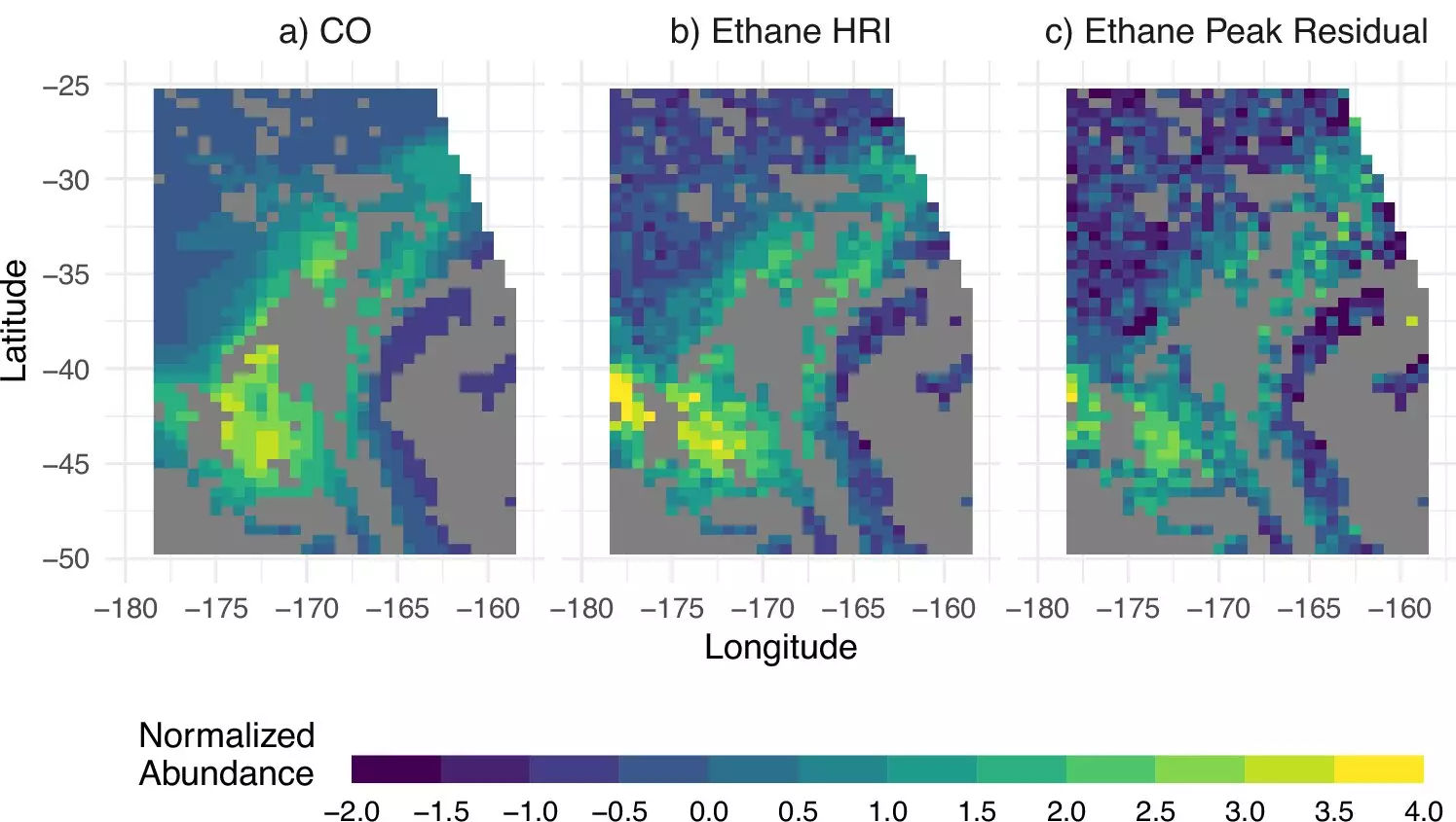
The researchers utilized advanced machine learning algorithms to process satellite data and visualize ethane levels over crucial fossil fuel extraction regions. This not only sheds light on emission hotspots but also emphasizes the inadequacy of conventional means that often overlook significant pollution sources.
Looking ahead, the research team plans to implement additional satellite tools, which are expected to provide continuous emissions monitoring well into the 2030s. These advancements include the launch of new instruments into geostationary orbits, allowing for hourly instead of daily observations. This level of granularity will facilitate more immediate responses to emissions data, thereby enhancing efforts to mitigate air pollution.
As stated by co-author Dylan Millet, addressing the air quality and climate change impacts stemming from oil and gas operations requires an accurate understanding of emission patterns. Tools that enhance our capability to track and quantify these emissions represent a significant leap toward environmental accountability and remedial action.
The University of Minnesota’s recent developments stand as a beacon for future research and policy-making related to fossil fuel emissions. By harnessing satellite-based tools and sophisticated data analysis techniques, scientists are finally able to provide a clearer picture of ethane emissions. Understanding the origins and scale of these emissions is essential for formulating effective strategies to protect air quality and combat climate change. As monitoring techniques evolve, so too will our ability to manage and reduce the adverse environmental impacts posed by fossil fuel dependence.

